

The UAE has completed the trial phase of a project to map agricultural areas using drones.
It's been helping the authorities collect data on farms and greenhouses in the country, as well as livestock population and soil type.
The Ministry of Climate Change and Environment (MOCCAE) is also using the technology to monitor crops and help farmers with forward planning.
The project's pilot phase between August and December in 2018, involved remote sensing and aerial imagery of Wadi Al-aim in Ras Al Khaimah.

 Dubai contains drone-related fire near US Consulate
 UAE extends remote learning period
 UAE condemns Iranian attacks, reserves right to respond at UN session
 UAE intercepts 12 ballistic missiles, 123 drones
 UAE assists 30,913 passengers amid flight suspensions
 flydubai resumes partial operations
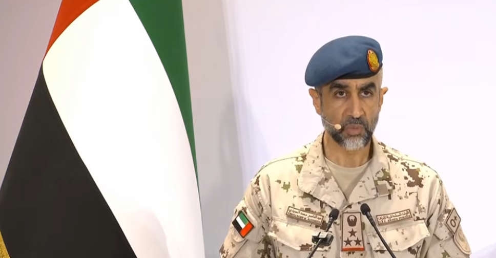 UAE Armed forces fully prepared to tackle any aggression from Iran
 Canada reaffirm UAE solidarity over regional developments
 UAE government to hold media briefing on latest developments
 Emirates, Etihad continue to operate limited flights
 Abu Dhabi activates 24|7 mental health support helpline
 UAE rejects inaccurate Bloomberg report
 Fire caused by debris extinguished in Fujairah
 UAE, Oman discuss regional developments
 Global Village, Dubai Parks and Resorts remain closed for third day
 Air Arabia suspends operations until Wednesday, limited flights to operate
 Indian education board CBSE postpones exams on March 5, 6
 GCAA announces limited resumption of flights at UAE airports

