

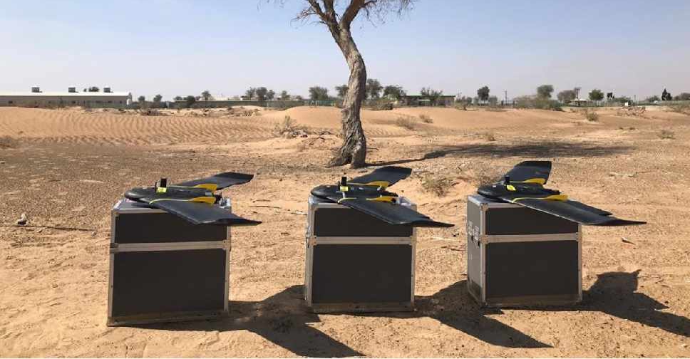
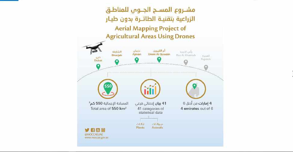
A project to map agricultural areas in the UAE using drones has completed its first phase.
It’s captured around 550 square kilometres of land across Dubai, Sharjah, Ajman, and Umm Al Quwain so far.
The Ministry of Climate Change and Environment will use the data to monitor crops and help farmers with forward planning.
Agricultural areas in Fujairah and Ras Al Khaimah will be mapped in the project's second phase later this year.

 UAE President, European Council chief discuss regional developments
 DXB remains top hub for international passenger traffic
 UAE announces gradual reopening of nurseries, decision on schools tomorrow
 Abu Dhabi Crown Prince holds talks with Chinese President in Beijing
 Umm Al Quwain approves residential plots for 'eligible' citizens
 UAE outlines salary support schemes under extended Nafis programme
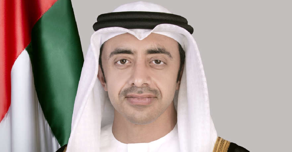 Sheikh Abdullah holds calls with global counterparts on regional security
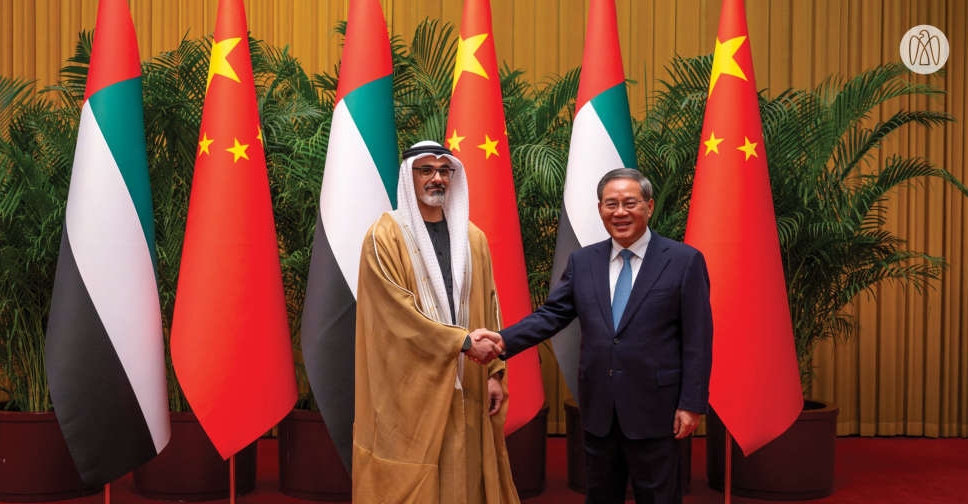 UAE, China sign MoUs in key sectors as Sheikh Khaled holds talks with Li Qiang
 UAE denies reports of distance learning extension till May
 UAE, Jordan foreign ministers discuss regional stability, bilateral ties
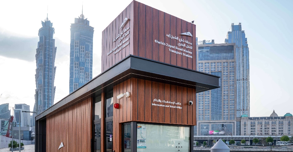 Dubai enhances marine transport stations in phase 2 rollout
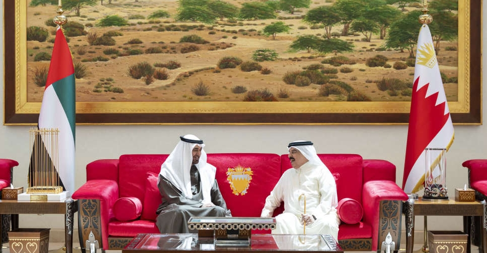 UAE President, Bahraini King discuss fraternal ties, regional developments
 Dubai Police impound car after driver performs reckless stunts
 Nominations open for $1 million Zayed Award for Human Fraternity 2027 edition
 Dubai Healthcare City unveils host of measures to support its partners
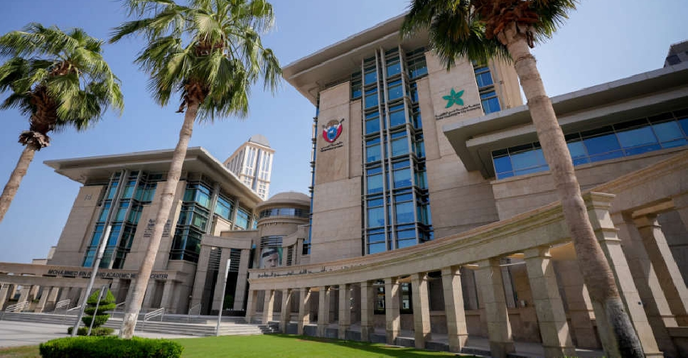
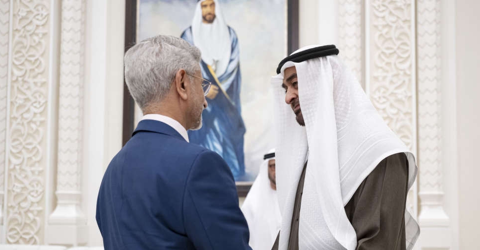 UAE President meets Indian Minister of External Affairs in Abu Dhabi
 BRIDGE extends summit to five days for second edition
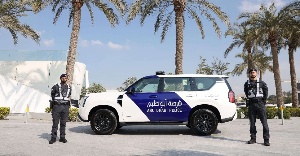 Abu Dhabi Police warn against unauthorised celebratory parades
 Abu Dhabi Crown Prince arrives in Beijing on official visit to China
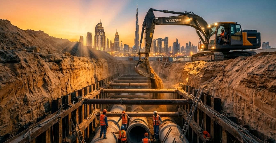 Dubai completes phase 1 of major sewerage project in Al Quoz

